
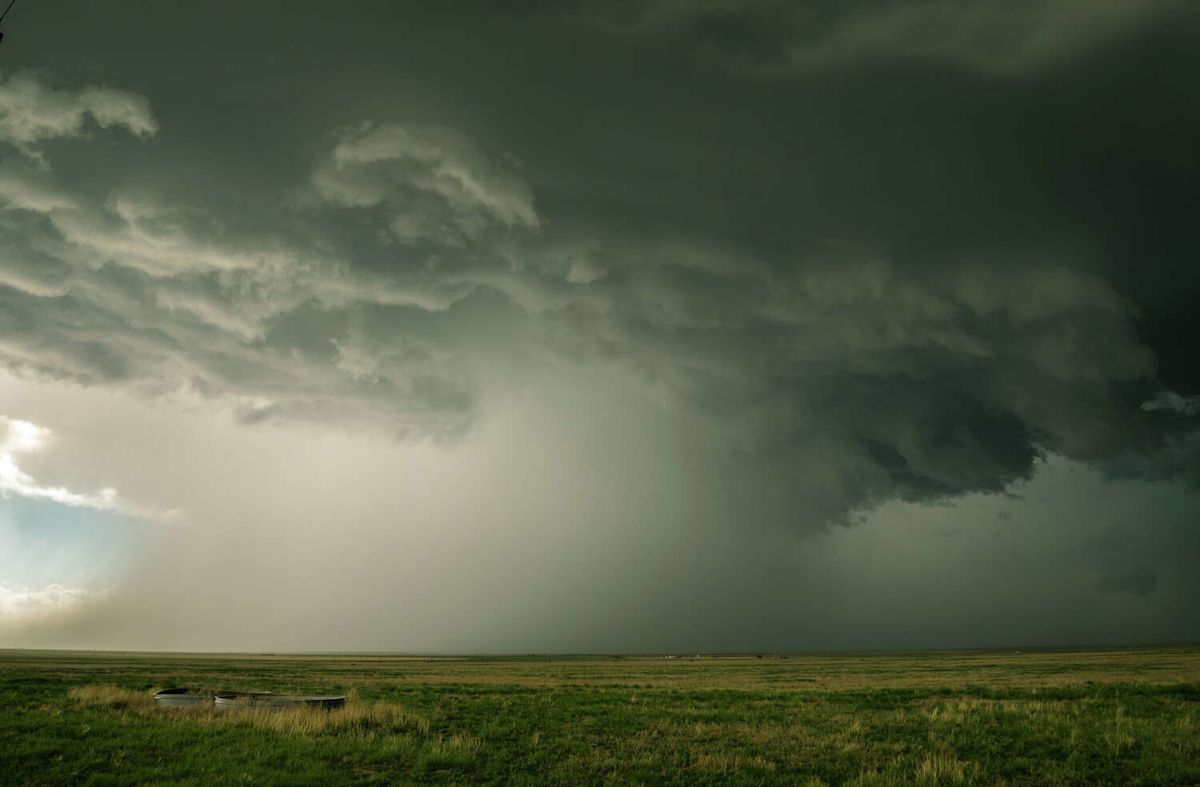
A sharp meteorological divide is taking shape across the state of Texas this week, as an approaching cold front promises to deliver a bout of scattered thunderstorms and a notable drop in temperatures to northern areas, even as intense heat continues to grip the central portion of the state.
According to the latest forecasts from the National Weather Service, residents living across the combined Texas and Oklahoma Panhandles will soon experience a break from unyielding late-summer warmth, though the week is beginning on an uncomfortably hot and dry note.
During the initial days of the week, daytime temperatures throughout the Panhandle region are projected to remain well above normal, with thermometer readings climbing into the 90 to 100-degree range. This lingering warmth reflects the broader pattern of elevated temperatures that has firmly dominated the region over the preceding months.
However, atmospheric conditions are slated to shift as a cold front pushes gradually into the northern plains toward the latter half of the week. As this frontal boundary advances, forecasters expect it to slowly push daily high temperatures down toward the 80-degree mark across the vast majority of the Panhandle communities.
Along with the gradual cool-down, the National Weather Service indicates that the frontal boundary will generate a medium to high chance of showers and thunderstorms. These convective storm systems are expected to develop both directly along the leading edge of the front and within the cooler air mass trailing behind it.
Meteorologists note that rain chances appear favorable for portions of the combined Texas and Oklahoma Panhandles on practically each day throughout the coming week. The presence of the lingering front will help sustain a recurring potential for storm development across the northern plains.
Forecasters have clarified that the statistical percentages shared in the regional outlook represent broad probabilities across the wider Texas and Oklahoma Panhandle domain. Consequently, while overall precipitation chances remain favorable across the Panhandles as a whole, not every individual community will necessarily see measurable rainfall on every single day.
By the time Friday and Saturday arrive, the cool-down is expected to reach its peak effectiveness across the northern part of the state. Daytime highs across the Panhandles are forecast to settle broadly into the low to mid-80s, establishing a welcome and widespread reprieve from the heat.
For northern residents, high temperatures lingering in the lower to middle 80s represent a dramatic and long-awaited change of pace. The Panhandle has endured months of daily temperatures running well above normal benchmarks, making this impending cooling trend one of the most substantial weather shifts of the season so far.
While northern communities can look forward to lower temperatures and stormy skies, a vastly different weather scenario is unfolding farther south in Central Texas and the San Antonio region. In these areas, the approaching northern cold front will offer no immediate cooling, allowing dangerous, near-record heat to persist uninterrupted.
Forecast models indicate that daytime highs across Central Texas will frequently surge into the upper 90s, with multiple locations reaching well into triple-digit territory. The unrelenting sunshine and dry conditions are expected to keep local temperatures elevated near historic thresholds into next week.
Compounding the misery of actual ambient temperatures near or above 100 degrees, elevated humidity levels will push heat index values significantly higher. The National Weather Service warns that heat index calculations could climb as high as approximately 110 degrees, creating hazardous outdoor conditions for the local population.
In addition to the oppressive thermal conditions in Central Texas, rain chances are projected to remain very low across the nearby coastal plains through the earlier stages of the week, preventing any natural cooling from persistent cloud cover or scattered downpours.
There is, however, a modest glimmer of potential relief in the extended outlook for southern and central areas. National Weather Service forecasters noted that rain chances could begin to increase across a broader geographic footprint by Thursday and Friday, possibly bringing isolated moisture to parched locations.
Until any southern rain materializes, the state remains fundamentally split between two contrasting weather stories. While the combined Panhandles prepare for a steady transition toward 80-degree highs and multiple rounds of thunderstorms, Central Texas must continue to manage extreme triple-digit heat and intense heat index readings.





(0)